Choose the planning workflow you need.
Plynth connects site research, planning policy, GIS, place data and source-linked answers in one workspace built for Australia. The full feature set is launching in NSW before rolling out to other states and territories.
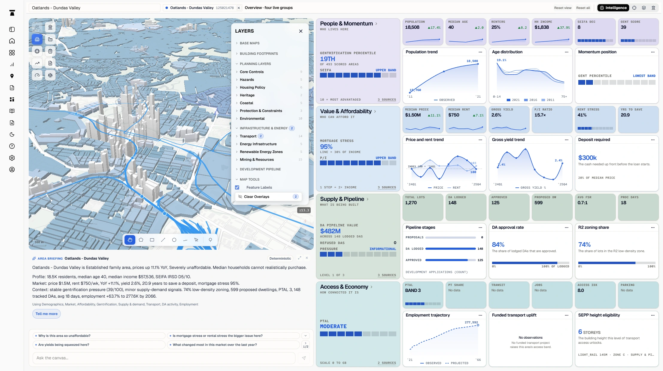
Move from a site question to cited planning findings.
Start with an address, lot or selected area. Plynth resolves the land, narrows the relevant planning sources and keeps mapped controls beside the policy research.
Use that shared record to inspect cited answers and carry the map, controls and unresolved assessment questions into an editable area report. The responsible practitioner still checks the sources and owns the professional conclusion.
Build the planning record before deeper project work begins.
Bring parcel identity, planning controls, mapped hazards, infrastructure context and nearby development activity into one early review. Each finding can retain its source or remain marked for a later check.
This is planning decision support. It is not a contract review, valuation, financial-feasibility model or promise that a proposal will be approved.
Keep the planning question attached to the map.
Select a parcel or draw an area, then inspect planning, hazard, infrastructure and place layers in the same working map. The selected geography carries into the analysis rather than becoming a disconnected screenshot.
Plynth is a planning-aware mapping and analysis workspace. It does not claim to replace a general-purpose desktop GIS or the official instrument and map checks required for a project.
Research planning policy without losing the source.
Ask a planning question across the NSW source set and inspect the provision, source identity and cited words behind the answer. Plynth keeps LEP, SEPP, DCP, NCC and judgment material distinct instead of flattening them into one summary.
Current product coverage is focused on NSW. Australian planning-policy language describes the market and professional task, not a deployed national policy corpus.
Compare places without flattening the evidence.
Define the geography first, then compare demographics, affordability, housing supply, transport and development activity across places. Keep the measure, geography and source period visible beside the finding.
The workflow supports planning and research questions. It does not turn a place comparison into a valuation, investment recommendation or causal claim.
Search planning judgments by issue, then inspect the passage.
Use a planning question to locate relevant NSW judgments, retain the citation and source extract, and carry a relevance note into the wider policy analysis. The official judgment remains the authority.
Plynth supports source-linked precedent research. It is not the court, a binding interpretation of case law or matter-specific legal advice.